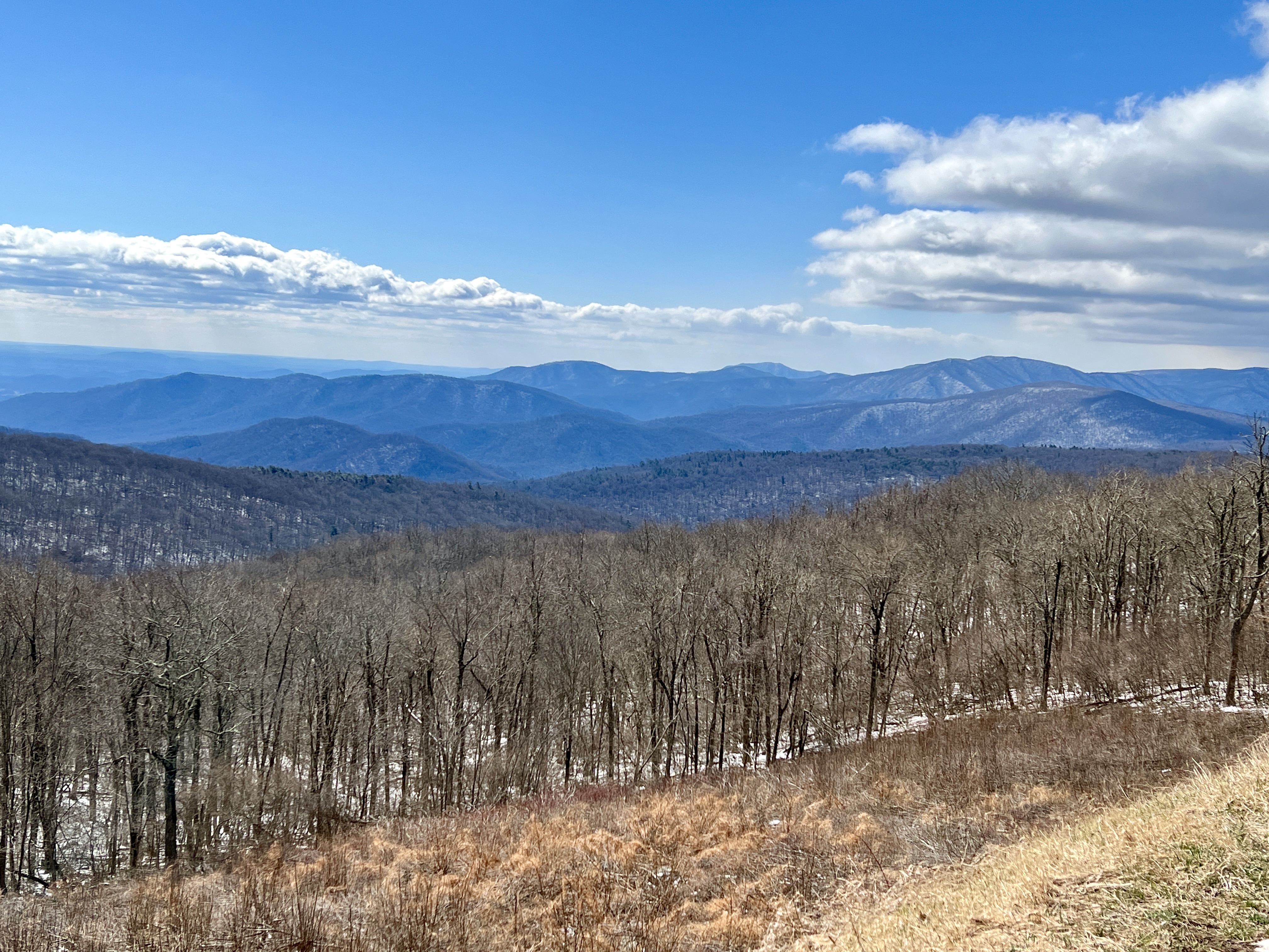
Shenandoah National Park was established on December 26, 1935 to preserve a naturally, historically, and culturally significant section of the northern Blue Ridge Mountains. The park is long and narrow sandwiched between the Shenandoah River to the west and the Virginia Piedmont to the east. Most visitors enjoy the park’s beauty from Skyline Drive, but a number of fun hikes exist in the park as well!

Shenandoah is Dog Friendly!
Liberty, our dog, enjoyed exploring Shenandoah with us! She joined us for the scenic drive along Skyline Drive. At fourteen years old, her hips are not up for long hikes anymore, so we chose trails carefully. She joined us on the Blackrock Summit Trail. She loved the easy rock scrambles and even seemed to enjoy the view from the top. Be aware that not all trails at Shenandoah are dog friendly. Check the park’s website for a list of trails where dogs are not allowed.

Skyline Drive
The park’s main feature is Skyline Drive – a 105 mile road that leads down the middle of the park. The Civilian Conservation Corps finished construction of the road in 1939. Be sure to obey the 35 miles per hour speed limit as deer are everywhere in the park!


We began our drive at the park’s Northern entrance in Front Royal, Virginia. Skyline Drive ends at Rockfish Gap where the Blue Ridge Parkway begins. Enjoy the views from the Skyline Drive overlooks:


Hiking in Shenandoah National Park
Hiking is always one of our favorite national park activities. We visited Shenandoah during March, when the cold, wind, and snow limited some of our abilities. Here’s a recap of the hikes we completed:
Hawksbill Summit
This 1.7 mile trail leads to the top of the park’s highest peak. The trail begins in the trees and ends at Byrd’s Nest Shelter #2. The summit platform is just around the corner from the shelter. We loved the view from the top. The trailhead is located at mile marker 45.5.

Blackrock Summit
The Blackrock Summit trail is a 1 mile loop that leads around an interesting outcropping of black boulders. A portion of the trail follows the Appalachian Trail. There was some snow on the trail the day we hiked it. Liberty really enjoyed this trail! The trailhead is found at mile marker 84.4.

Rapidan Camp
The longest hike we did on our trip was to Herbert Hoover’s Rapidan Camp. The hike is four miles round trip. It begins at the Millam Gap park lot at mile marker 52.8. The hike descends from Skyline Drive to a small waterfall before crossing the creek to President Hoover’s camp.

This collection of cabins was built by the Hoovers as a way to escape the Washington, D.C. heat. Several buildings remain including the Brown House, where the Hoovers stayed, and the Prime Minister’s Cabin where British Prime Minister Ramsey MacDonald once stayed on a visit to the U.S. Our favorite feature at Rapidan Camp were the stone bridges the Marines installed over Hoover’s trout ponds.


Favorites from Surrounding Areas
Our early March visit was in the park’s winter season, so lodges within the park were still closed. We stayed at Kat’s AirBnB in Harrisonburg. Harrisonburg is a great town to explore! We spent an evening walking on the campus of James Madison University followed by tasting a cider flight at Sage Bird Ciderworks. Sage Bird Ciderworks is dog friendly, so Liberty got to join us at the bar!


We enjoyed breakfast at Cinnamon Bear Bakery and lunches at Lola’s Deli and Grilled Cheese Mania! Kline’s Diary Bar was a fun way to end the evening!


We also enjoyed Basic City Brewery in Waynesboro – just outside the park’s south entrance!

Click here for more Land of Liberty Explorers! Follow us on Facebook and Pinterest!


Check out one of Liberty’s favorite products: PupLids
